-40%
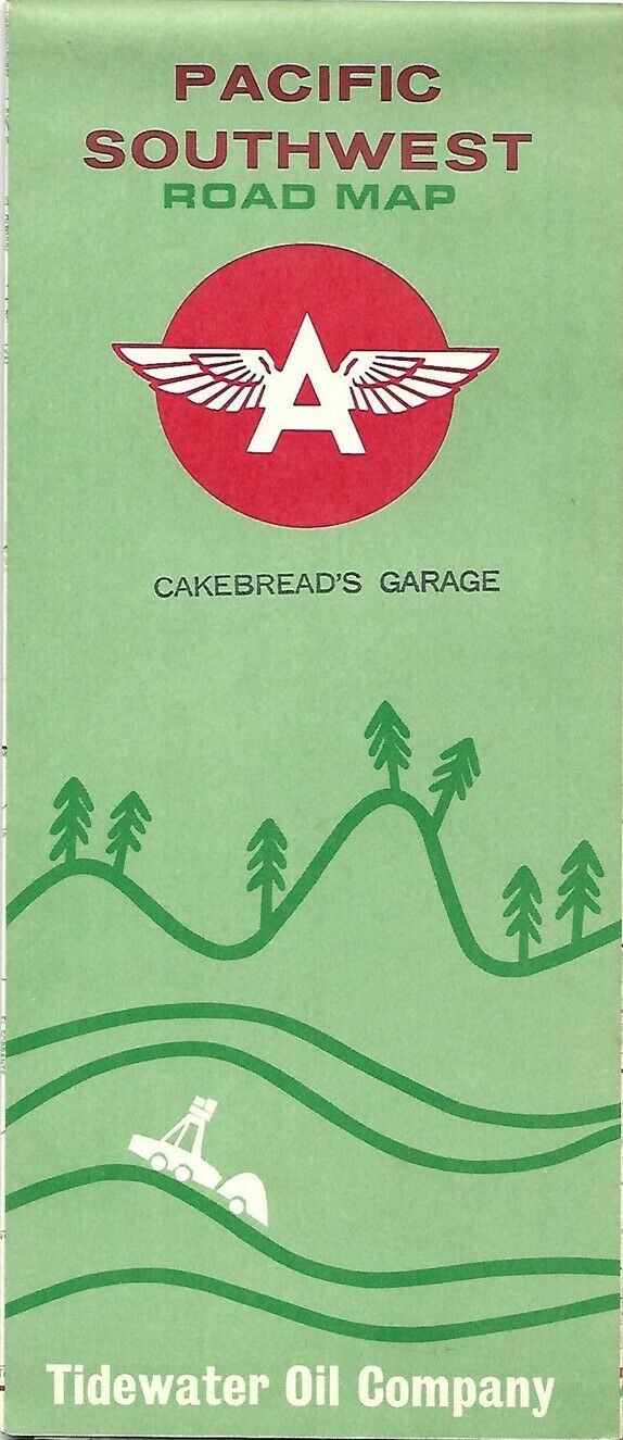
1963 Cakebread Tidewater Oil FLYING A Road Map PACIFIC SOUTHWEST California US66
$ 13.19
- Description
- Size Guide
Description
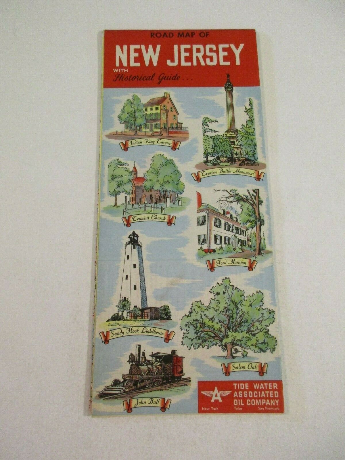
Handsome fold-out 1963 Tidewater Oil Company road map of the Pacific Southwest, printed more than 57 years ago.This map opens to 18" x 27" and has great detail on old highway alignments, including U.S. Route 66, with cartography by H.M. Gousha.
The coverage area includes California, Nevada, and western Arizona.
There's a road map of Los Angeles and vicinity on the reverse side, as well as inset plans of San Francisco, Sacramento, and San Diego.
The map was distributed by the Tidewater Oil Company in 1963 to promote its Flying A gasoline and is dated in the legend. The code number in the lower margin is 10-KK. There's an ad for Tidewater's credit card on the back cover.
The front cover has a neat rubber-stamp imprint from Cakebread's Garage in Oakland, California. Ten years after this map was printed garage owner Jack Cakebread bought a farm in Rutherford and turned it into one of Napa Valley's cult-favorite wineries — Cakebread Cellars.
Condition:
This map is in
excellent condition,
bright and clean, with
no
rips, tears, or writing. Please see the scans and feel free to ask any questions.
Buy with confidence! We are always happy to combine shipping on the purchase of multiple items — just make sure to pay for everything at one time, not individually.
Powered by SixBit's eCommerce Solution
